
Tutela Heights Master Plan
Greater Toronto Area, Ontario


Über die Immobilie
Masterplan Standort
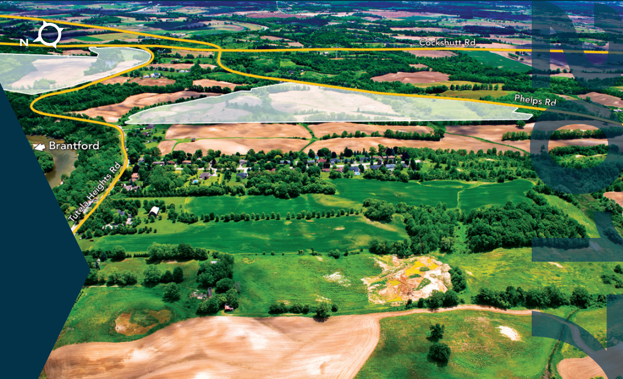
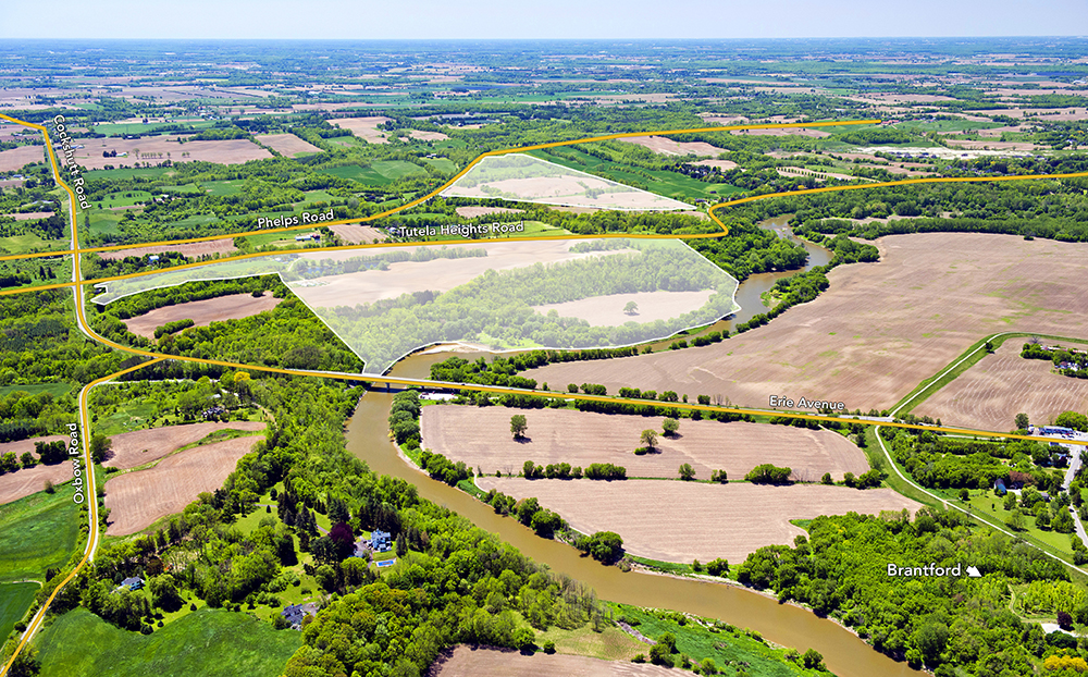
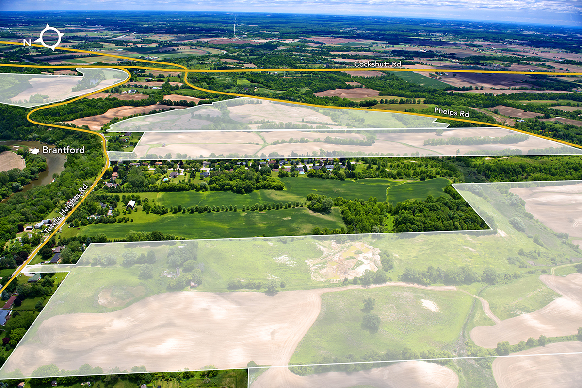
The 251-acre Tutela Heights Master Plan is located in two municipal jurisdictions, being the County of Brant and the City of Brantford, situated in the southwestern area of the Greater Golden Horseshoe (“GGH”).
Zugang zur Straße
The Master Plan is situated 5 km south of the City of Brantford with close proximately to Highway 403, a major transportation artery offering access to central Toronto and the US border.
Landnutzung
The Tutela Heights Master Plan is positioned as a future residential community, to be targeted to both people commuting to Hamilton and the GGH, as well as those residing and working locally. The Master Plan will require land use designation changes from its current “Agricultural” designation to enable residential and supporting local commercial development.


